The area of Chelmos Vouraikos Global Geopark

Λογότυπο Γεωπάρκου Χελμού - Βουραϊκού
UNESCO Global Geopark

The Chelmos Vouraikos UNESCO Global Geopark lies in Northern Peloponnesus and occupies an area of 647 km2. It is a mountainous area with 6700 inhabitants that live in villages and small towns between high mountains and deep gorges. It is a member of the European Geoparks Network and the Global Geoparks Network since 2015 because of a combination of various geologic, natural and cultural elements that render its unique character. Until now, 43 geosites and 7 georoutes have been designated. The visitor can travel through the geopark ‘s area learning for its unique geology, its rich biodiversity, its great history and the local traditions.

Responsible for the Chelmos-Vouraikos Geopark is the Management Unit (MD) of the Chelmos-Vouraikos National Park & Northern Peloponnese Protected Areas of N.E.C.C.A. (Natural Environment and Climate Change Agency), which includes 18 Protected Areas of the “Natura 2000” Network.

The scientific supervision of the Geopark is carried out by the laboratory of Paleontology and Stratigraphy, University of Patras, headed by the professor of geology, Mr. Giorgos Iliopoulos.

Geopark Geology Map EN

At the Geopark’s area the dominant rock is limestone, many times strongly karstified (karstification = dissolution of calcium carbonate from the water).

The diverse geomorphology (steep mountains, poljes, etc.) and the special conditions of the soil and water content in these areas seems to favor the diverfication of endemic species (species that are not found anywhere else in the world). For example, Chelmos mountain, which consists almost exclusively of limestone, is a botanical Paradise for the entire Northern Peloponnese.

The fauna is also effected by the limestone dominance at the geopark’s area. In its extensive underground karst network thrives one of the most important winter bat colonies in Europe (and the largest in Greece). A colony was discovered in the geosite Cave of the Lakes, which is home to more than 18,000 bats (Miniopterus schreibersi) and nine additional species at different times of the year.

The rich geodiversity of the geopark is combined with the unique biodiversity. In the area of the geopark more than 1100 plant species exist. Six of them can be found only in the geopark’s area and their existence is connected to the soil type. Moreover, in the area a rich fauna is accommodated. Insects, amphibia, birds and mammals exist. In total, 52 vertebrate and 73 invertebrate species have been recorded.

The geopark’s area has played an important role during the Greek revolutions. Its intense geomorphology was often a battlefield but also an inaccessible refuge for heroes! The intense geomorphology of the area which hosts many high peaks has often become a source of inspiration for folk songs and poems. A characteristic example is Chelmos Mt which has been mentioned in many of them.

The myths and the legends that concern specific parts of the geopark each time are numerous. Styx waters geosite is a characteristic example of geomythology.

The extensive limestone rocks that cover a big part of the area of the geopark have clearly affected the architecture of the traditional buildings in the villages that are scattered among the high mountain peaks. The traditional village Vesini, next to the homonymous geosite is a characteristic example with its stonebuilt houses.

The caves from antiquity were places of worship probably because they exuded calm and serenity and gave the feeling of communication with the unknown. So even today many temples have been built in caves or under large rock roofs. Typical examples are the historic monastery located on the geosite of Mega Spilaio and the Byzantine church which lies on the Analipsi geosite.

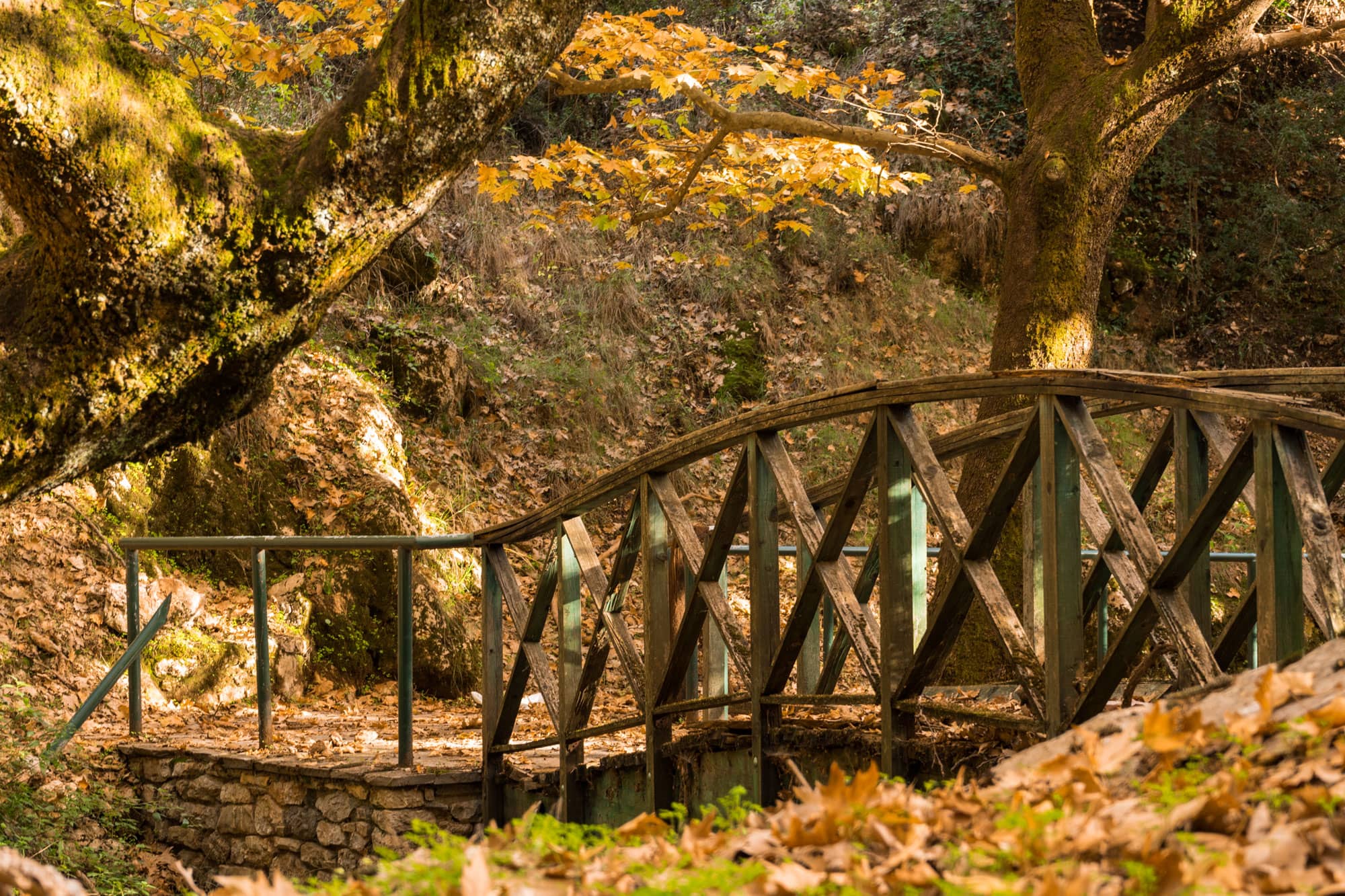
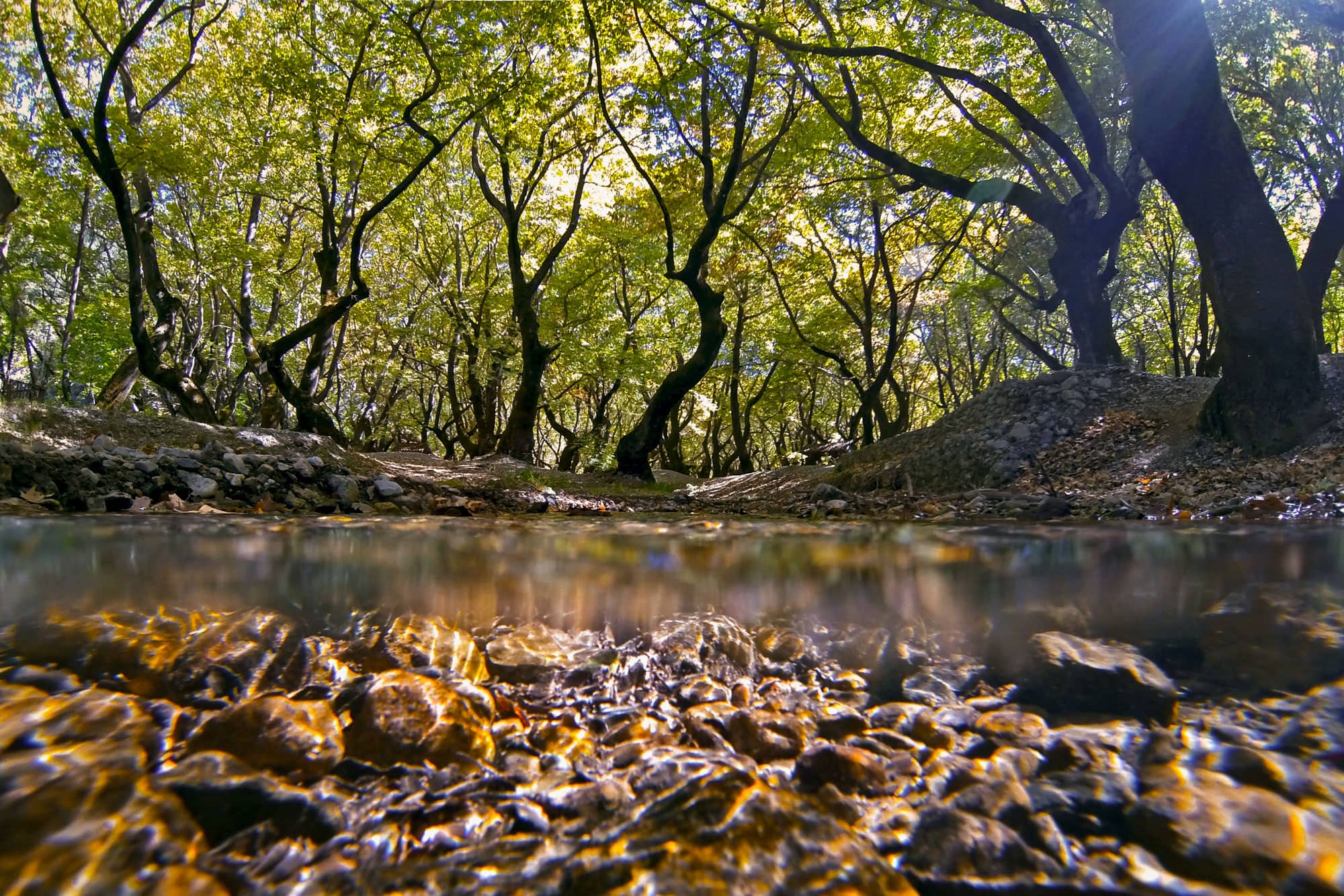
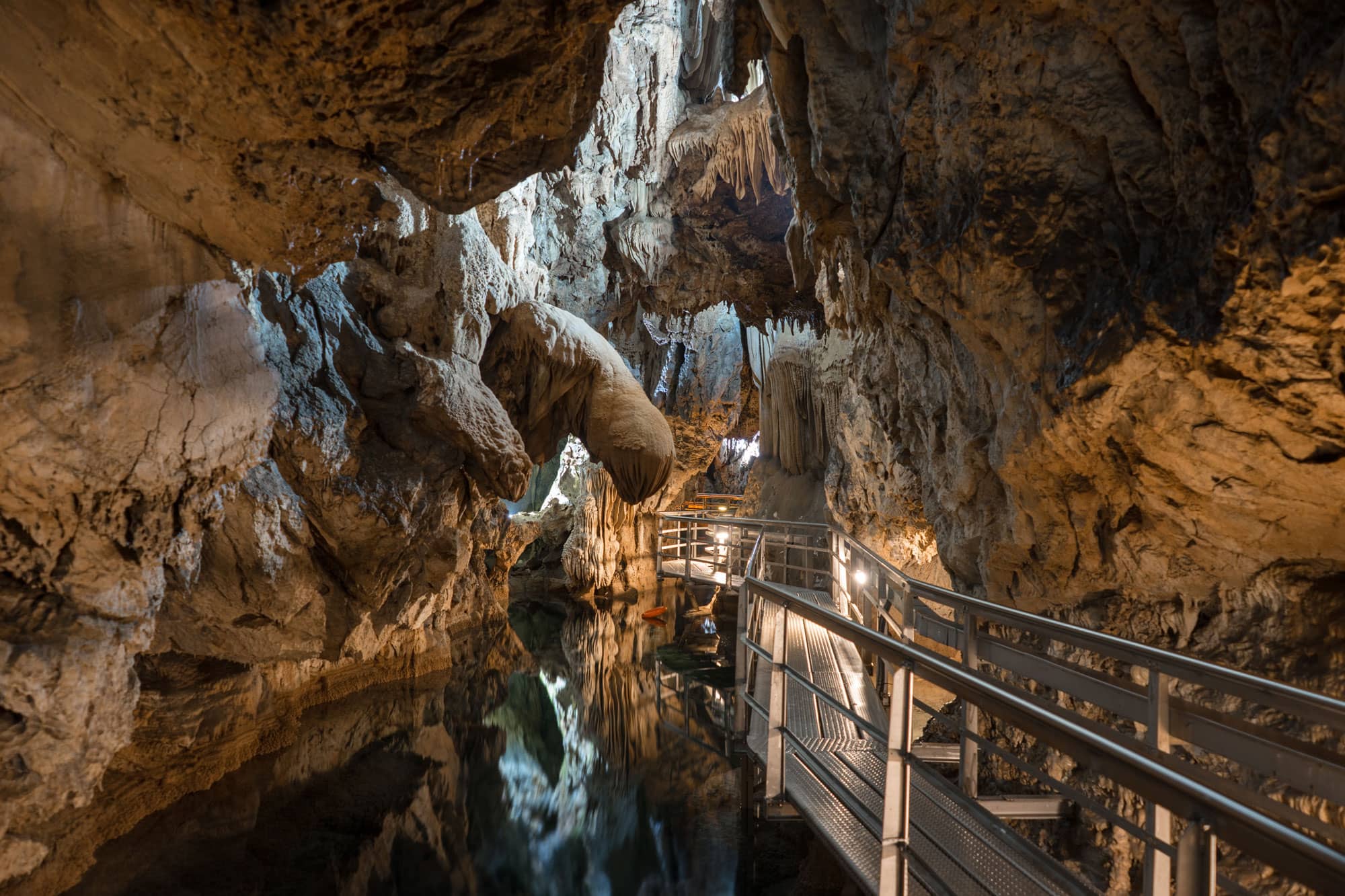
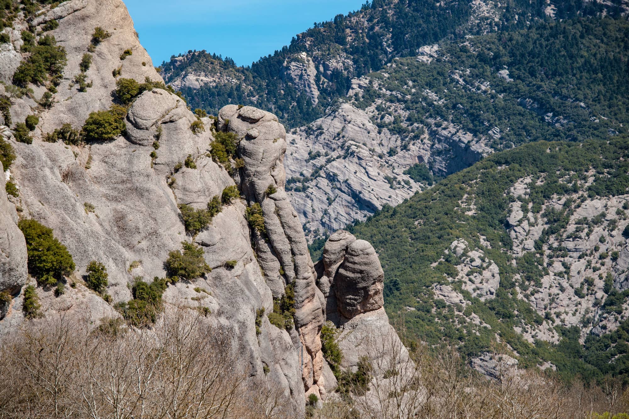
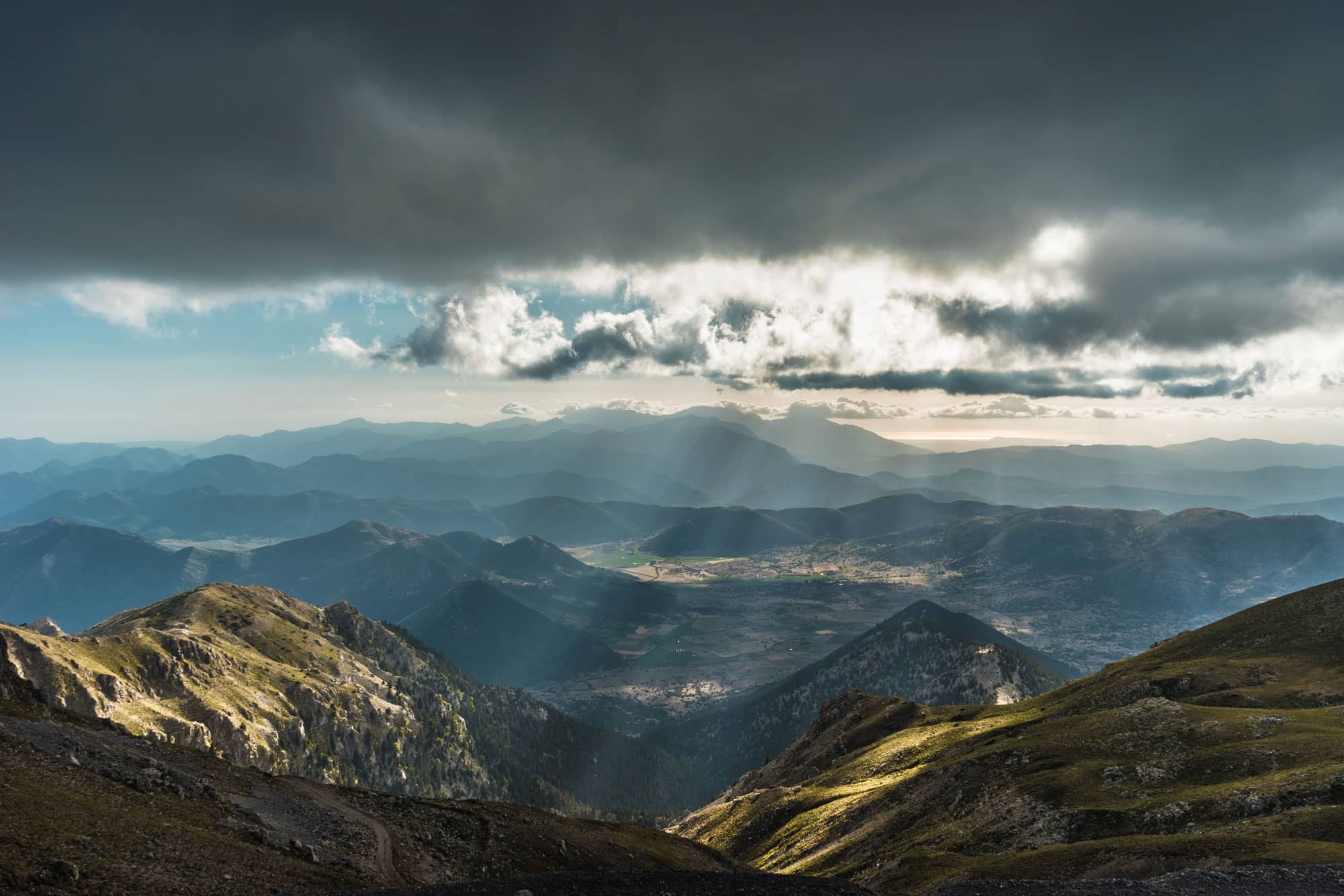
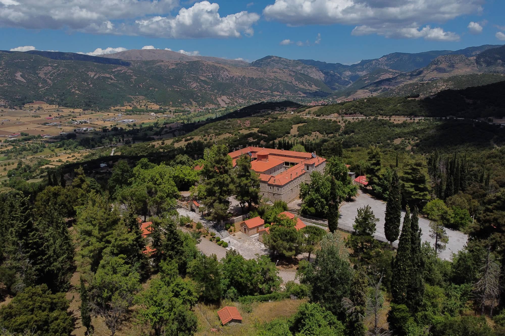
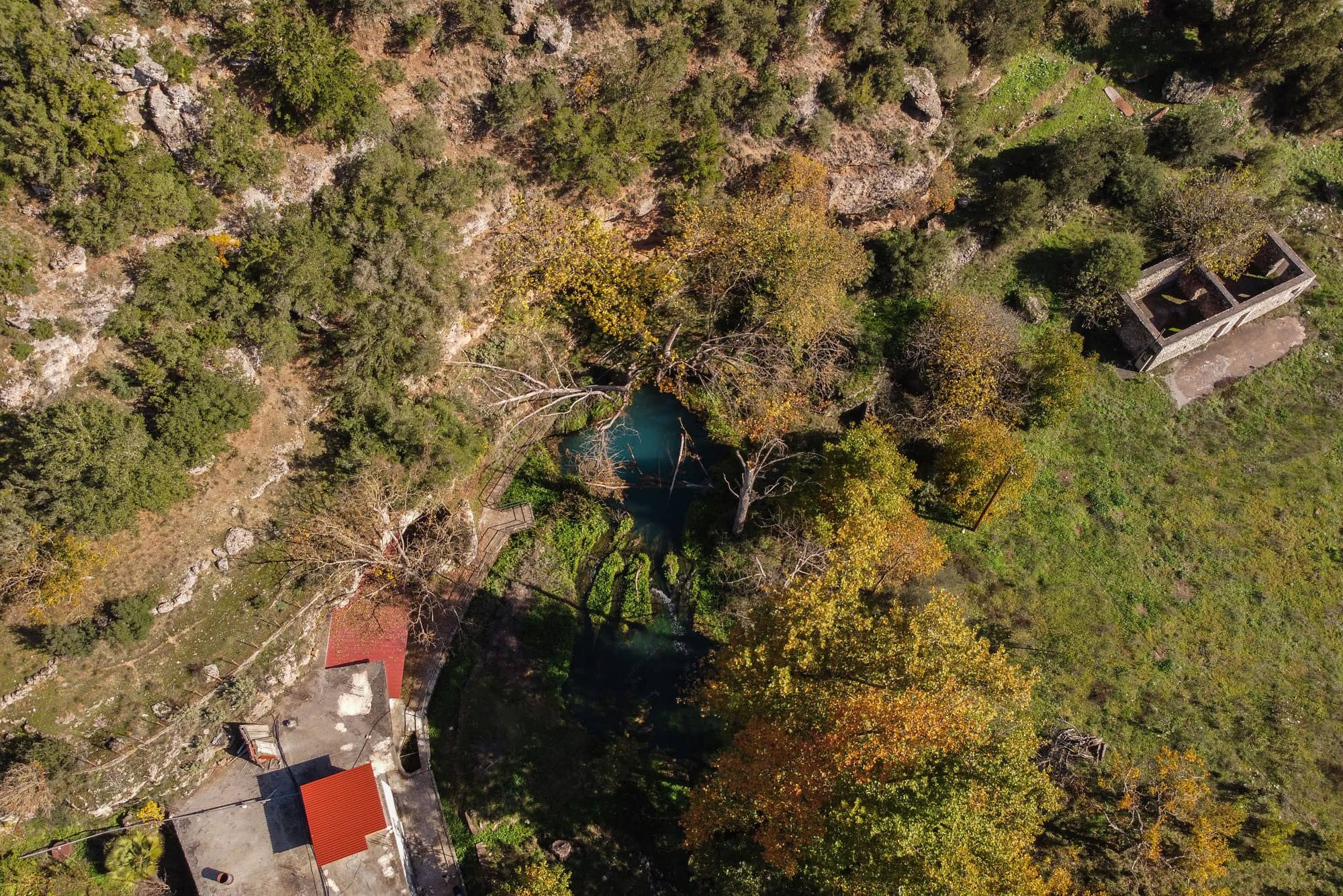
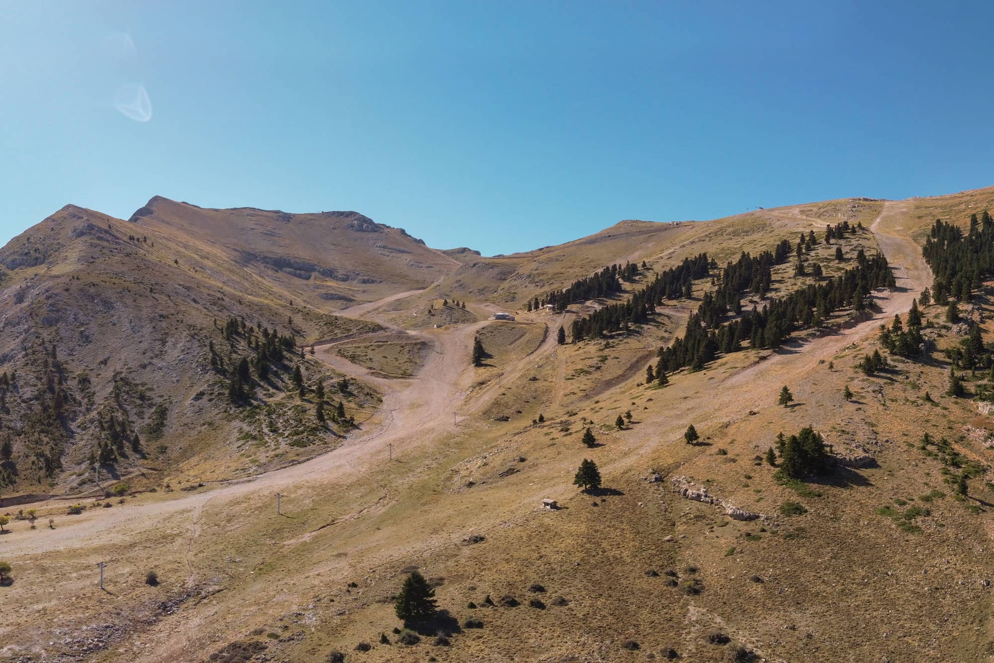
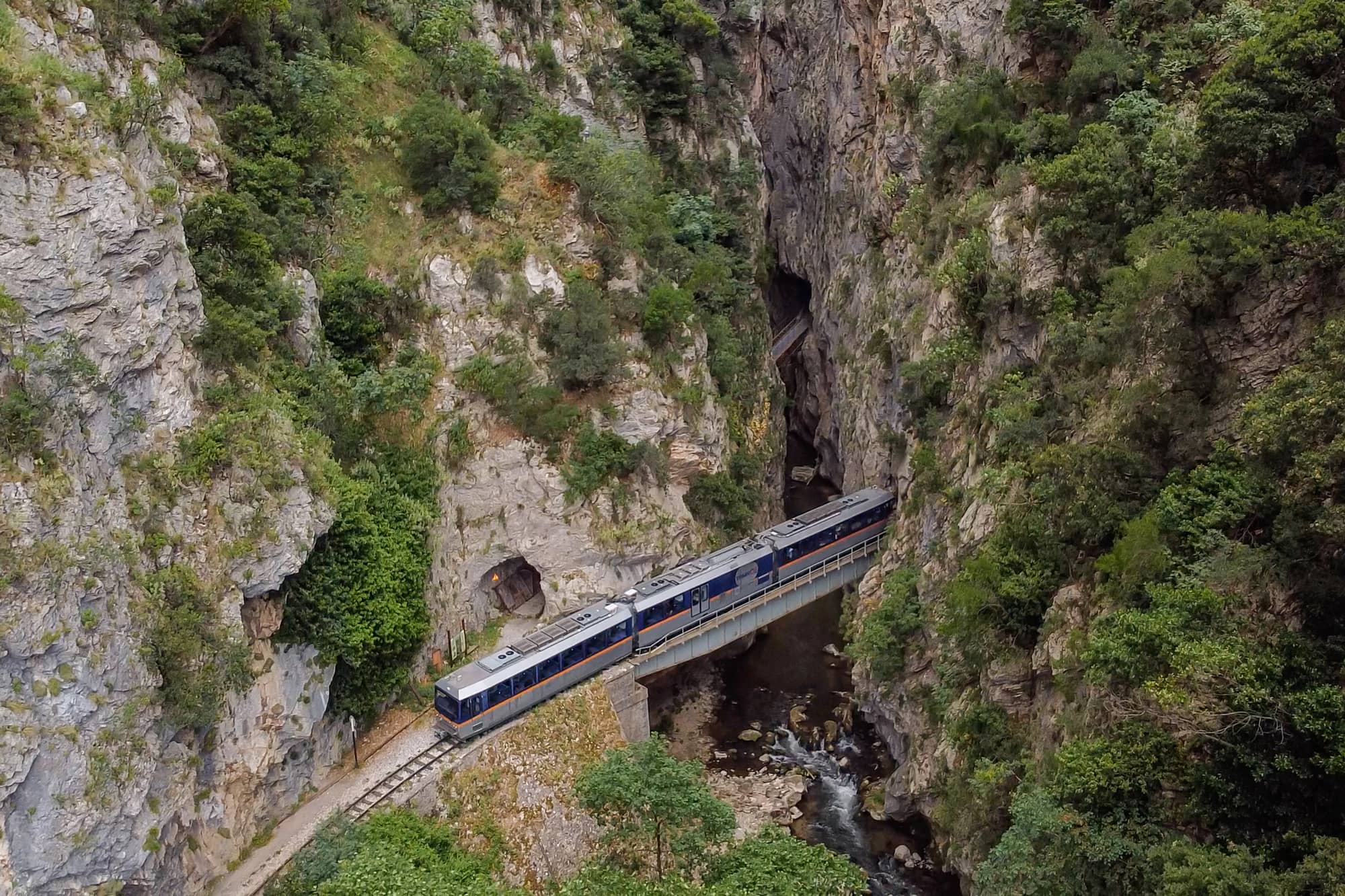
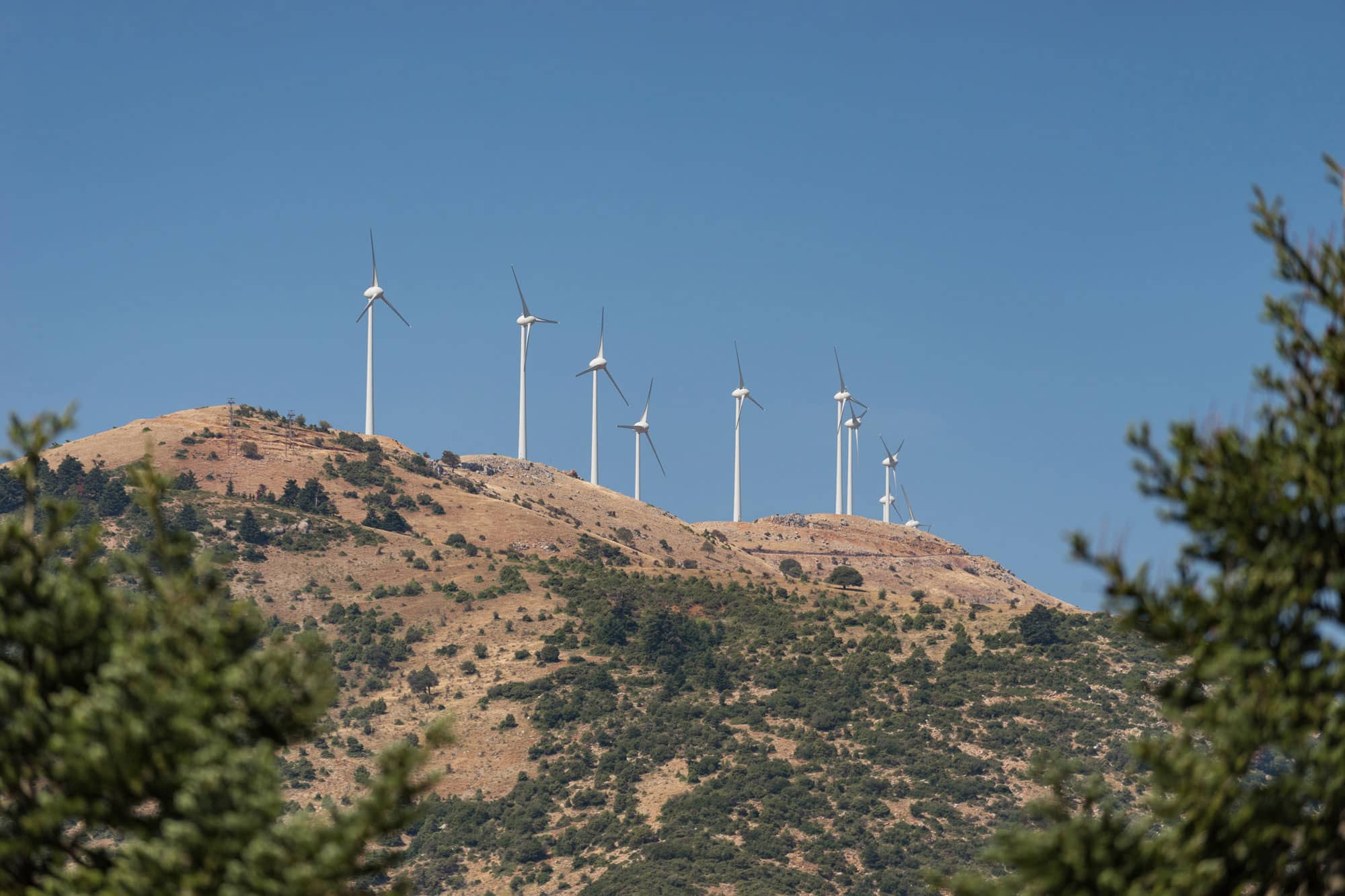
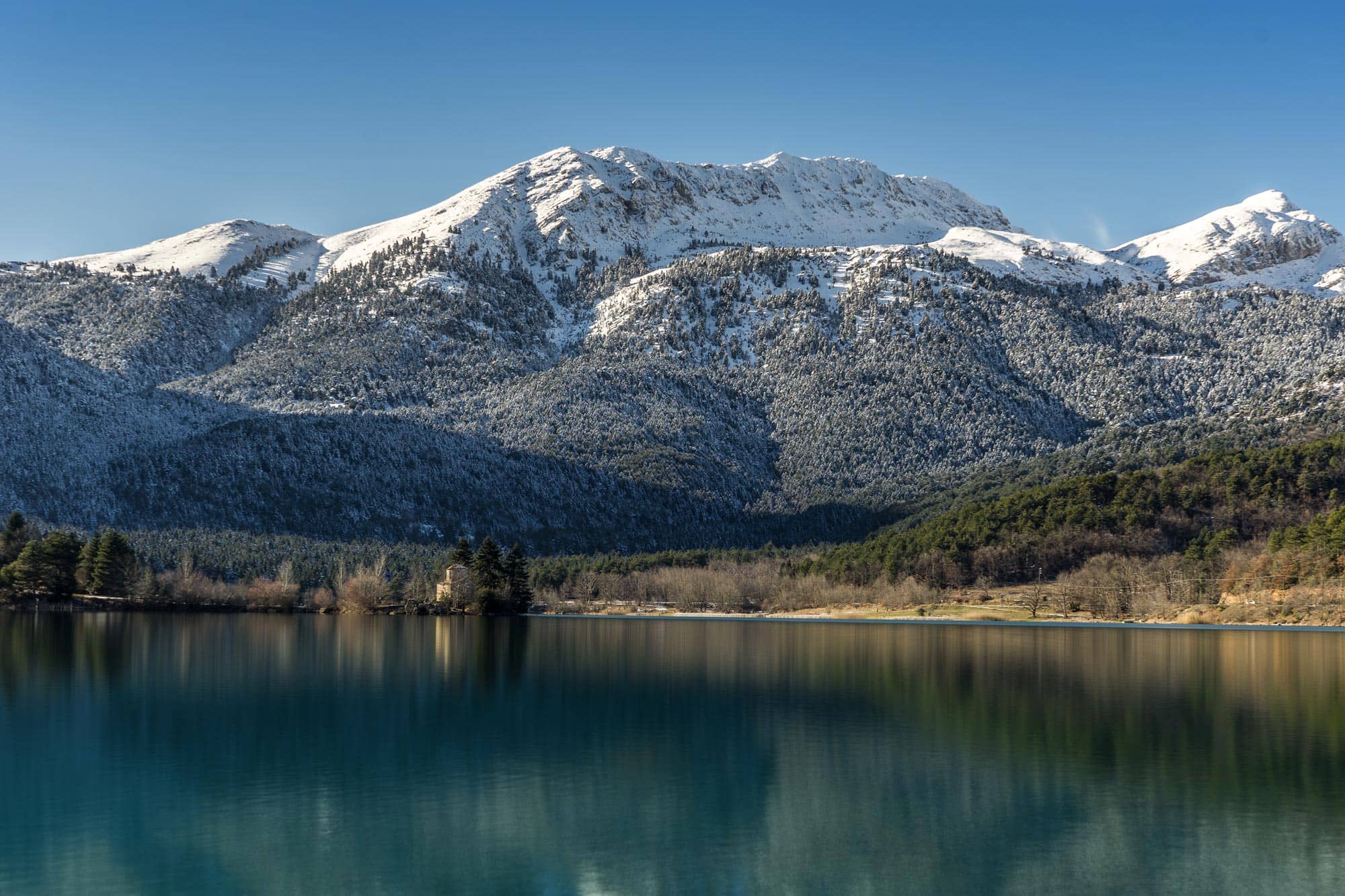
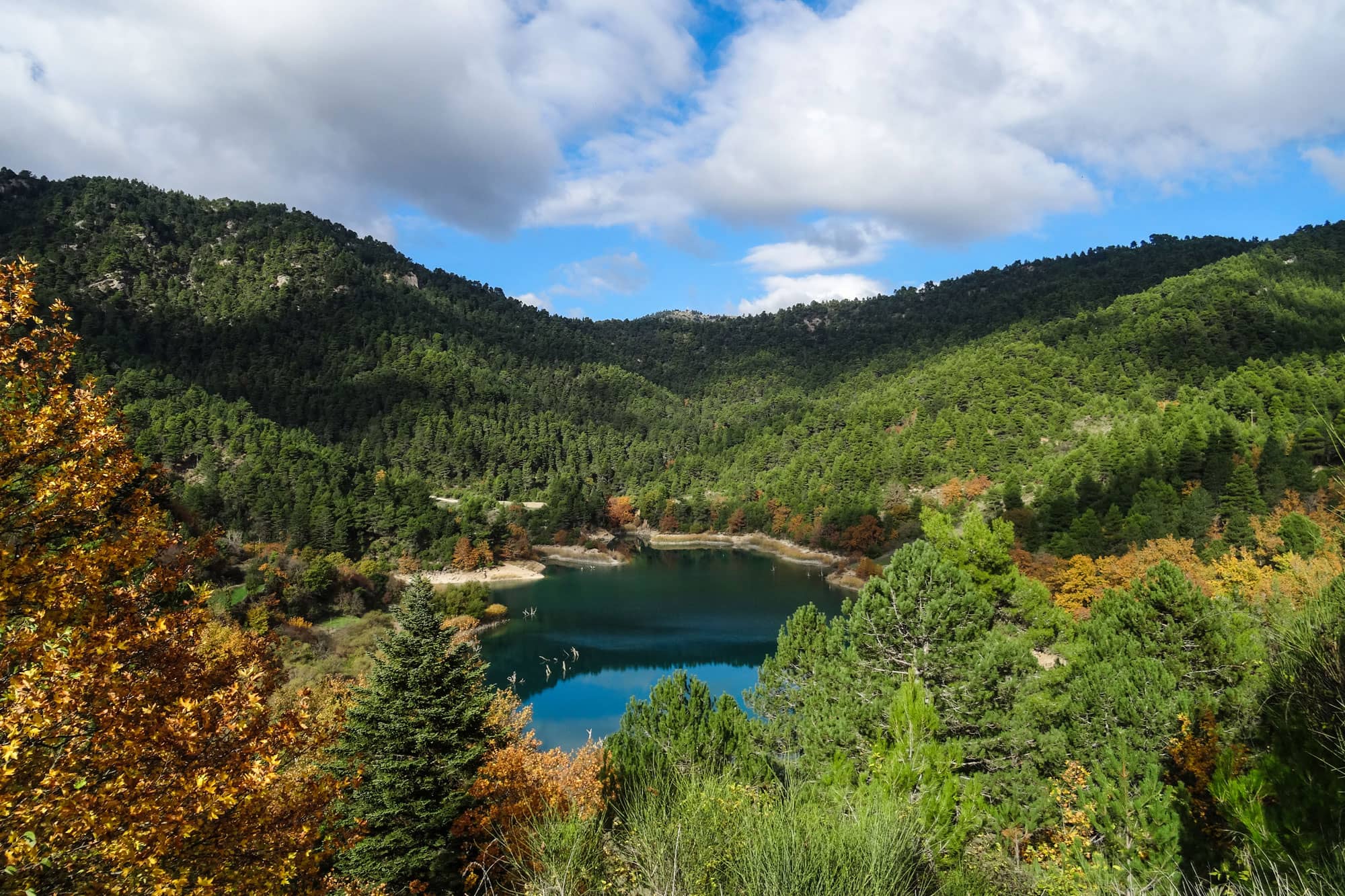
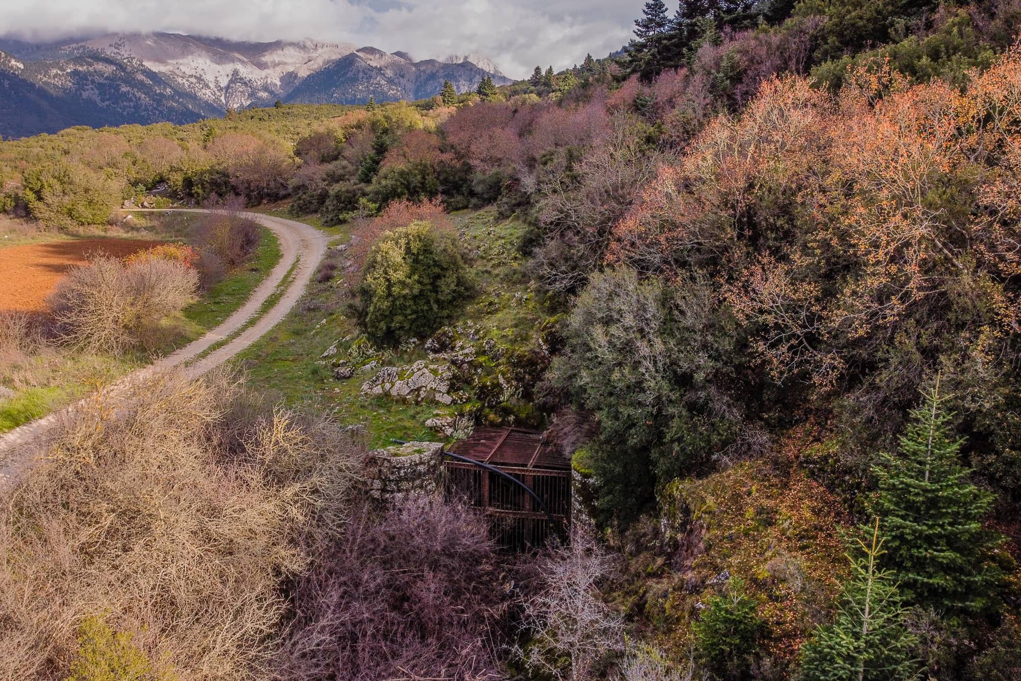
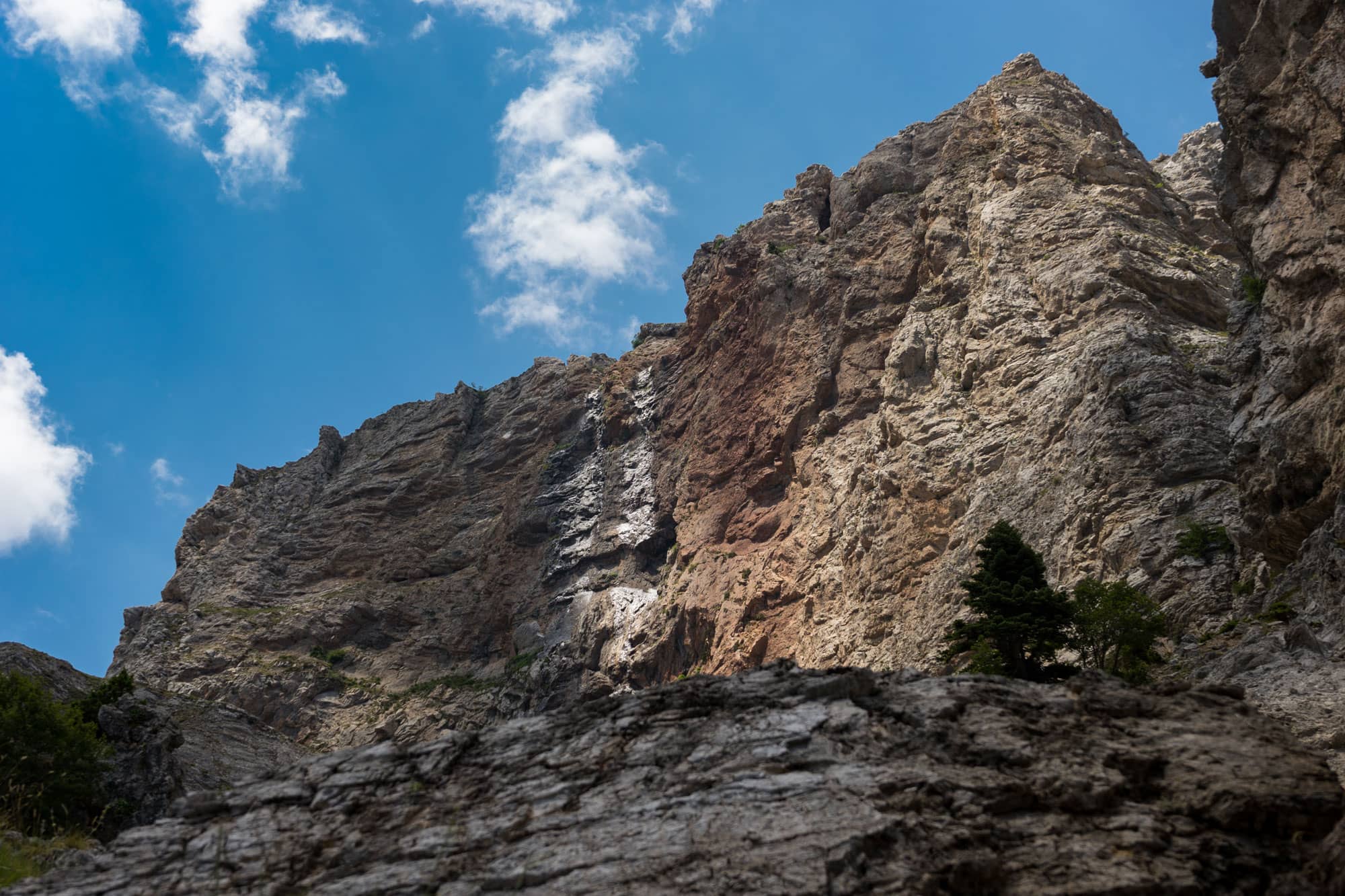
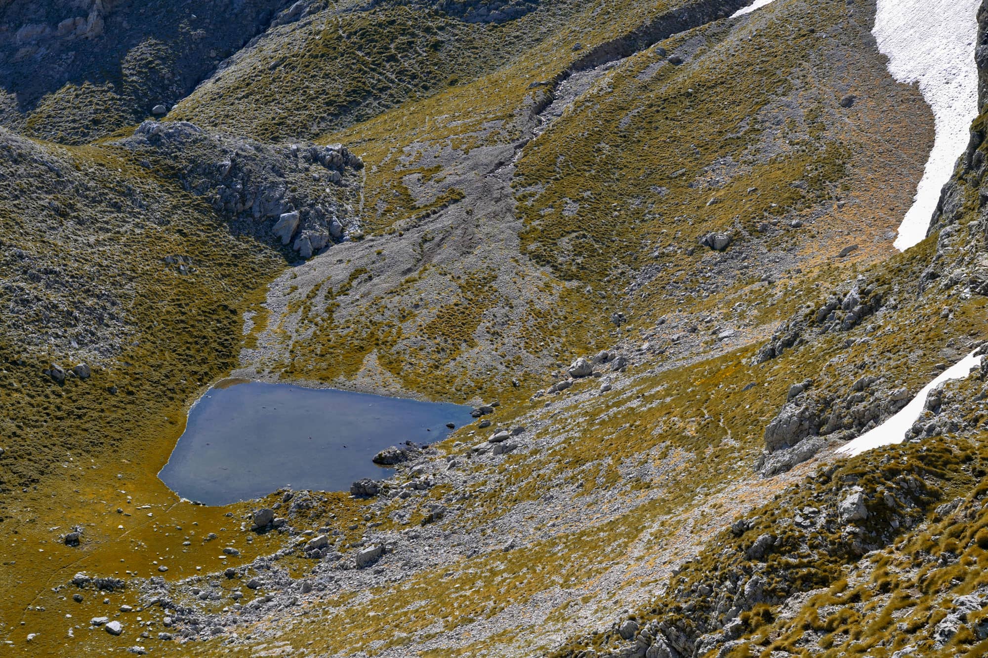
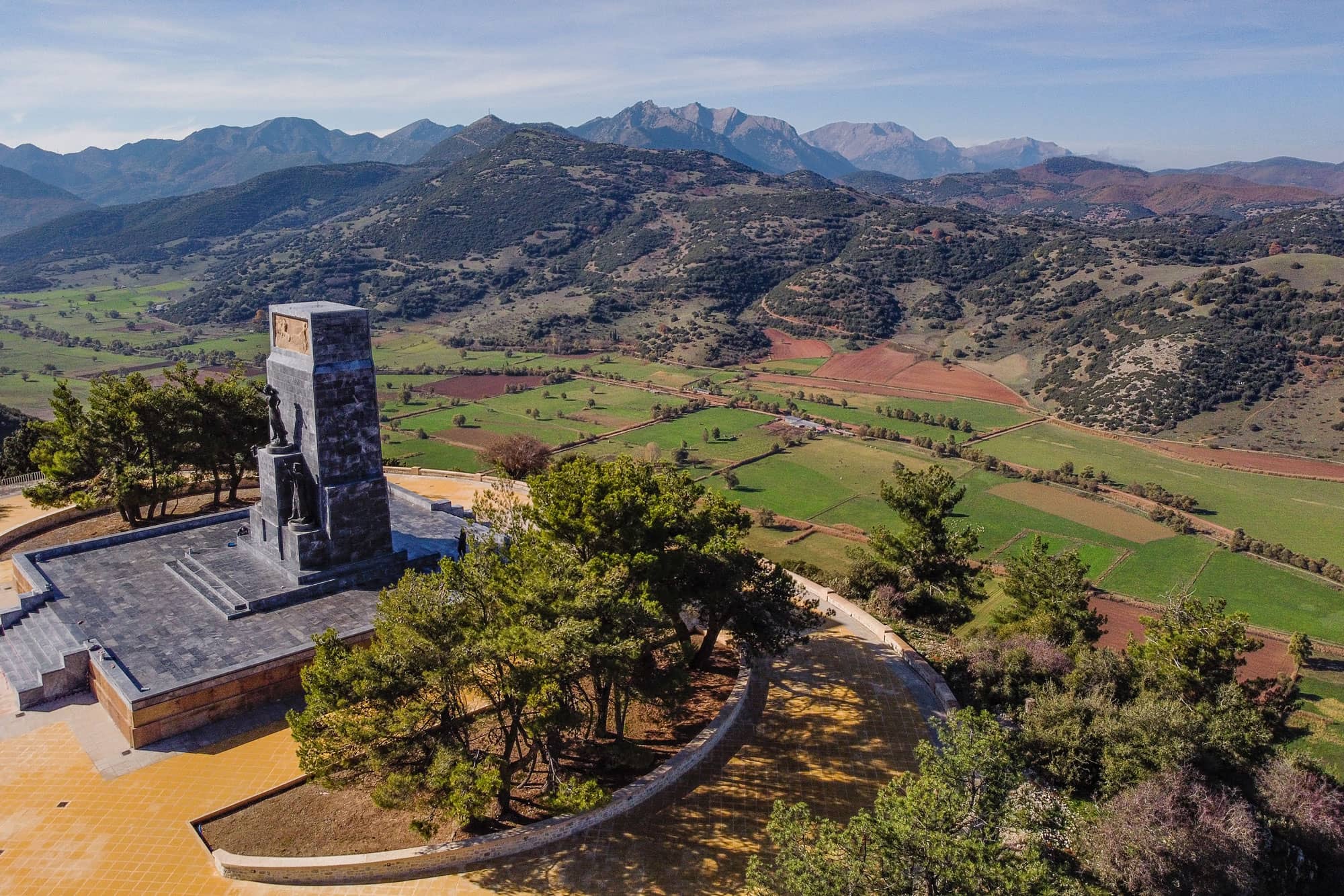
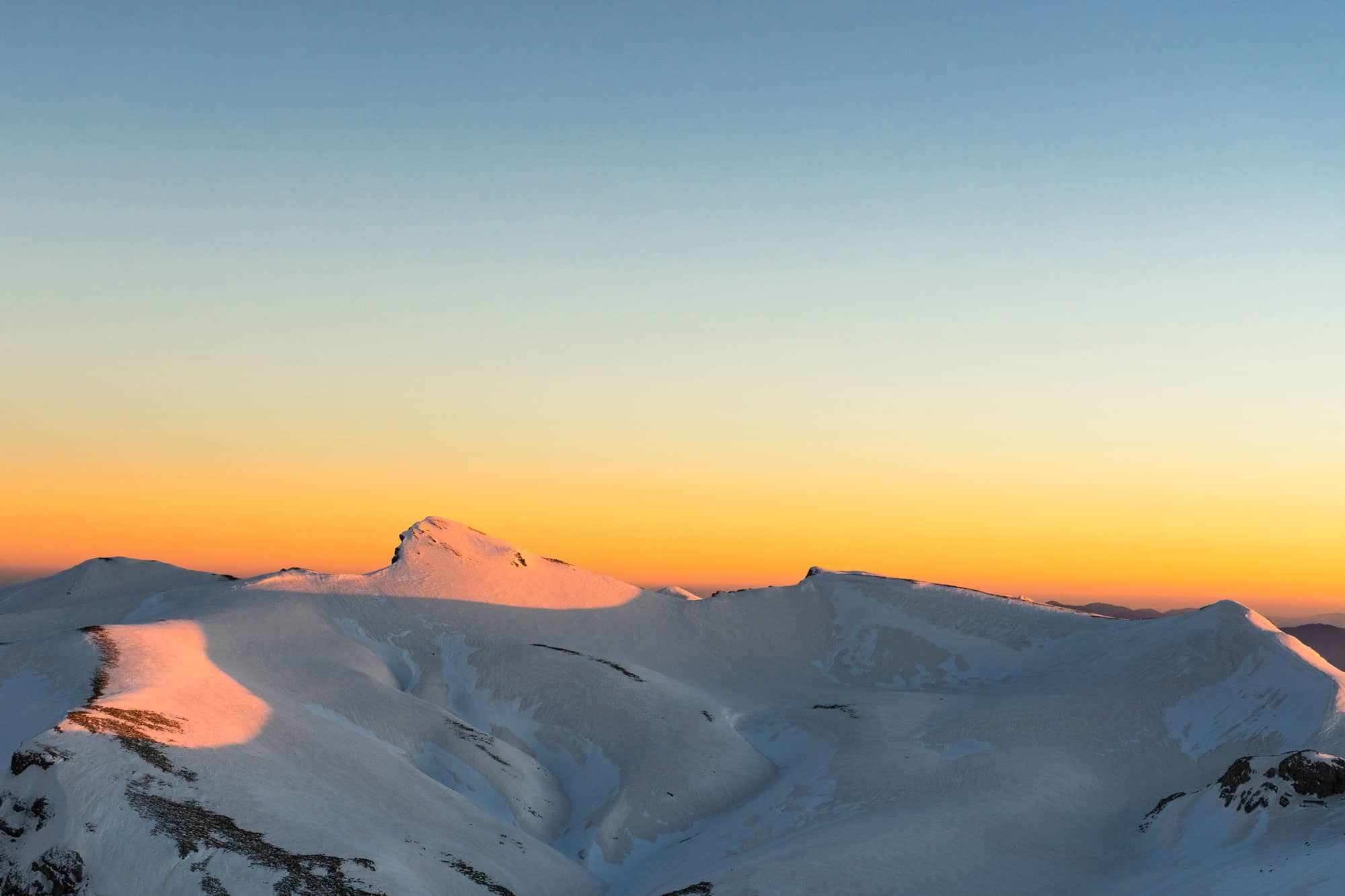
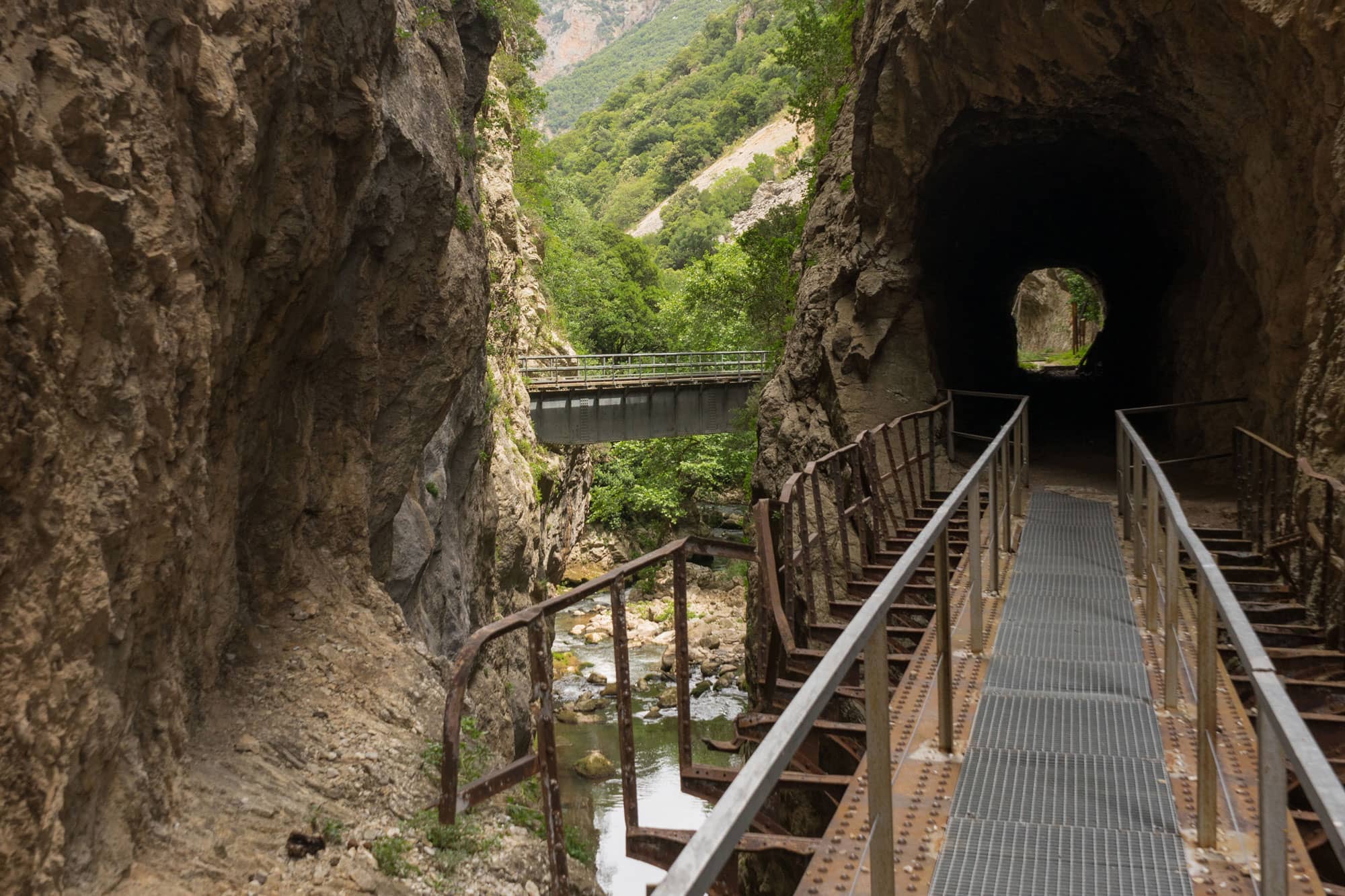
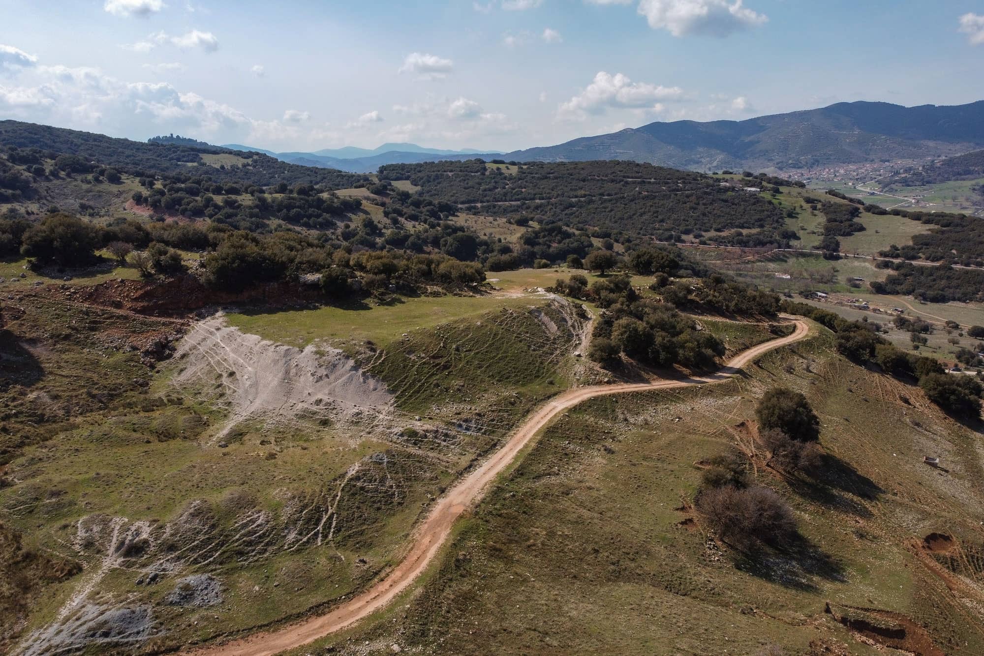
Photographs of the Geopark
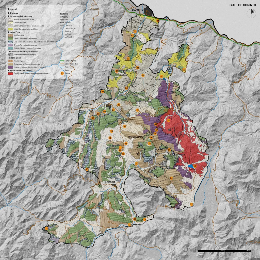
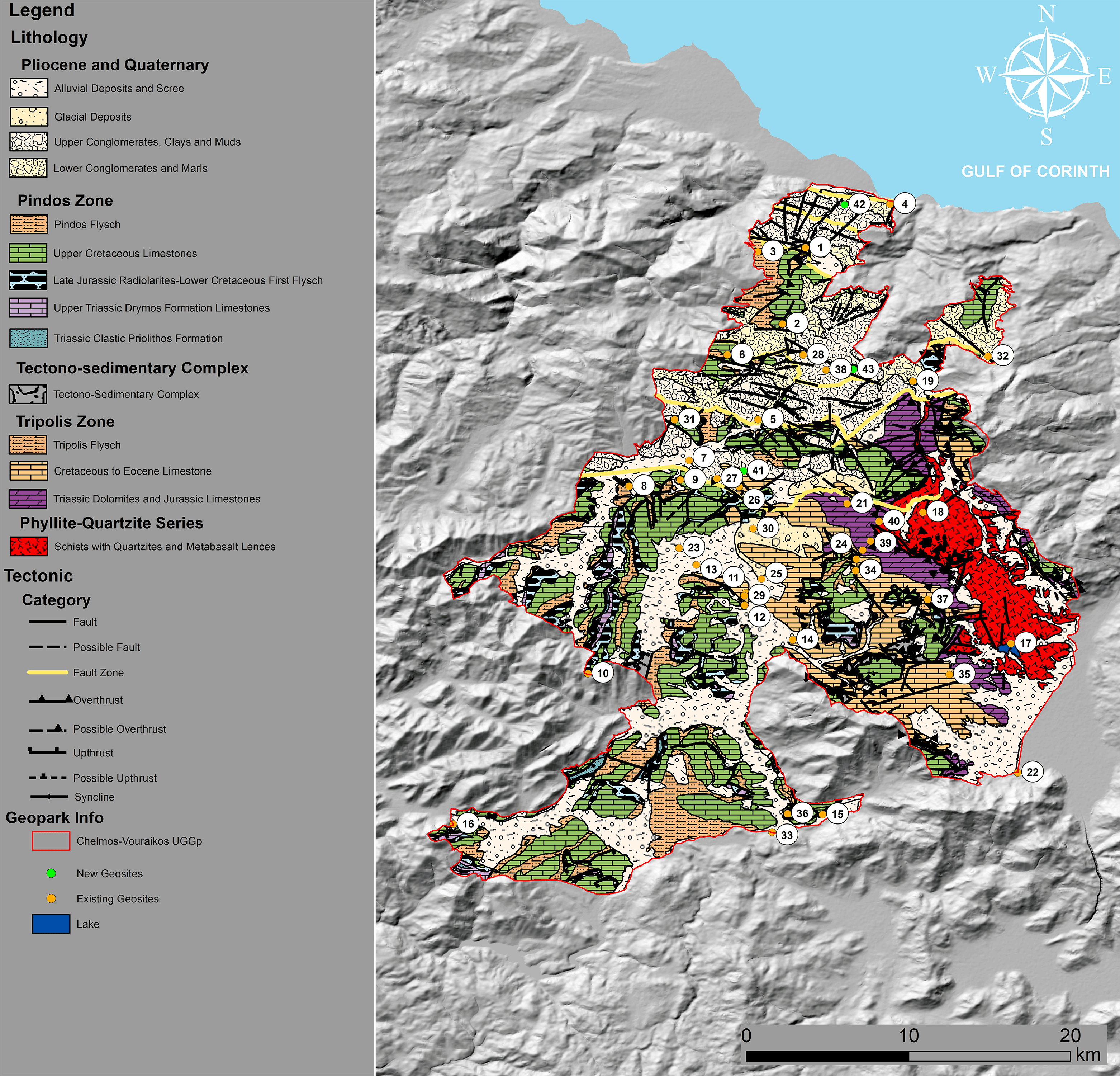
Geological Map

Geological Map

Interactive Map

Geopark Borders

Geosites